
El Monte ZIP Code Coverage
The El Monte ZIP Code Directory begins with the five-code local-resident set named in the City’s 2024 Project Labor Agreement. That document verifies inclusion for a city program, but it does not draw USPS postal polygons. The core incorporated city areas are concentrated in 91731 and 91732. The other codes need a closer jurisdiction and delivery check.
| ZIP | Areas Covered | Post Office | Notes |
|---|---|---|---|
| 91731 | Central and southern El Monte, including City Hall and Downtown areas | El Monte postal facilities; verify station | Postal city does not prove the municipal line |
| 91732 | Northern and eastern El Monte, including Norwood and Mountain View portions | El Monte postal facilities; verify station | Check parcels near the edge |
| 91733 | South El Monte and some El Monte-area postal references | South El Monte | Primarily a separate incorporated city |
| 91734 | Reported PO-box and El Monte postal use | Verify with USPS | Official classification was not captured |
| 91735 | Reported PO-box and El Monte postal use | Verify with USPS | Official classification was not captured |
Use the El Monte 2024 PLA ZIP list as a local inclusion clue, not as a substitute for a USPS address result or a city parcel check.
El Monte ZIPs 91731 and 91732
ZIP 91731 covers central and southern El Monte, including the City Hall and Downtown area. ZIP 91732 reaches northern and eastern sections, including parts of Norwood and Mountain View. The two codes are useful search buckets, but they do not replace the parcel’s situs address or AIN. Within the El Monte ZIP code directory, each full street number still needs its own check. A mailing label can be right for delivery while still being too broad for a records request.
Ranchito Street shows the practical issue. The adopted city inventory places 11227 and 11237 Ranchito Street in 91732, while 11234 Ranchito Street is in 91731. One street therefore crosses a ZIP boundary. Search by the full street number, then preserve the ZIP returned for that exact address instead of applying one ZIP to the whole road.
For a resident or parcel question, use the address as the first key and ZIP as a check. A ZIP-wide conclusion can merge separate neighborhoods, tax areas, or jurisdictions.
El Monte ZIP 91733, South El Monte
ZIP 91733 is primarily associated with the separately incorporated City of South El Monte. Some postal references place it in an El Monte-area service set, which is why a local list can include it. That inclusion does not merge South El Monte residents into incorporated El Monte. Confirm the city line through parcel, tax-rate, or planning information before attributing a person or record to the right municipality.
The USPS location record for the El Monte postal facility identifies the El Monte Post Office and SDC at 11151 Valley Boulevard with facility ZIP 91734. USPS also identifies the South El Monte Post Office at 10452 Rush Street with ZIP 91733. Delivery facilities and city boundaries are related, but they are not the same data layer.
A name, address, or voter result that carries 91733 needs that extra jurisdiction check before it enters an El Monte record set.
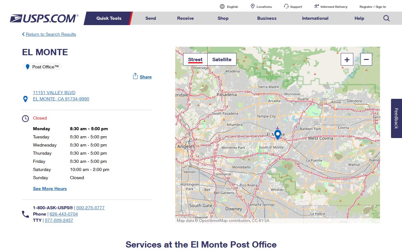
The USPS facility information helps confirm delivery context while the parcel record confirms the local government context.
El Monte ZIPs 91734 and 91735
Secondary ZIP lists report 91734 and 91735 for PO-box or El Monte postal use. The research did not capture an official current USPS classification for either code, so neither should be treated as a street-resident boundary without verification. A PO-box ZIP may identify where mail is collected rather than where a person or parcel sits.
Verify a deliverable address through the USPS ZIP lookup reference before ordering a record or assigning a neighborhood. The El Monte facility’s 91734 label is not proof that every 91734 address lies inside the incorporated city.
The USPS El Monte facility result provides another official postal view for checking the station and ZIP association.
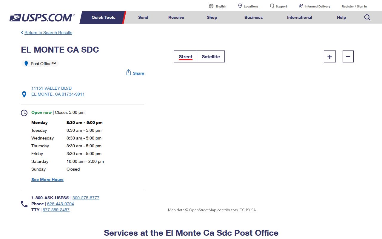
Keep the PO-box question separate from the street-parcel question.
Find El Monte Residents by ZIP
ZIP-keyed searching works only where the record system accepts a ZIP as a real search field. The public Assessor workflow primarily uses a situs address or 10-digit AIN and does not provide a verified ZIP-wide resident export. The ZIP code directory is useful only when the source accepts ZIP as a field. LA County voter verification uses ZIP as one matching key for a person’s own status. It does not browse residents by ZIP.
- Confirm the exact delivery ZIP with USPS, including whether the address is a street delivery or PO box.
- Search the Assessor Portal by full address or AIN, then note situs, legal description, and parcel status.
- Use the parcel viewer to click the subject shape and inspect nearby parcels without treating proximity as a social link.
- Use the voter form only for your own status, or obtain a voter product under its permitted purpose and contract.
- Once the ZIP is narrowed to a street, use the El Monte street directory for the address-led record chain.
The LA County voter verification form shows why a ZIP alone is not enough:
| Field | Required format |
|---|---|
| Last Name | Required, alphabetic only |
| Birthdate | Required, mm/dd/yyyy |
| House Number | Required, numbers only |
| Zip Code | Required, numbers only |
The four-field check is a personal status tool, not a public ZIP directory. A broader Street Index has purpose, contract, and fee rules.
ZIP Lines Are Not El Monte Limits
A ZIP code is a USPS delivery construct. An incorporated city is a government boundary. “EL MONTE CA” on a mailing line can cover postal geography outside the city, while a city parcel can use a nearby postal name. North El Monte is an unincorporated community in the South Monrovia Islands, not simply a neighborhood within incorporated El Monte.
Use the parcel’s jurisdiction, tax-rate area, or official planning layer to settle the city question. Use USPS to settle delivery. A postal ZIP code directory can sort delivery questions, but it cannot settle a municipal boundary. The two answers can both be correct and still point to different agencies for a record request.
- ZIP code
- A five-digit USPS delivery area used to sort and route mail, not a municipal boundary.
- ZIP+4
- A four-digit extension that narrows a five-digit ZIP to a more specific route, building, or delivery segment.
- PO-box ZIP
- A ZIP assigned to a post-office box or facility grouping; it does not identify a street parcel.
- Unique ZIP
- A ZIP assigned to one organization or institution. No El Monte unique ZIP was established in the supplied research.
- Carrier route
- A USPS delivery route segment used for sorting and delivery, not a public list of residents.
Boundary check. Never label a person, parcel, or city record from a ZIP alone. Pair the postal result with a full situs address, AIN, or jurisdiction record.
El Monte Parcel and ZIP Jurisdiction
The Assessor separates four address ideas that often get blended. Situs is the physical location of the parcel. A mailing address is where tax or other correspondence goes. A legal description identifies the tract, lot, or metes-and-bounds land. The AIN is the stable 10-digit Los Angeles County parcel identifier commonly shown in portal results and URLs.
Search the Los Angeles County Assessor Portal by address or AIN. The parcel detail can show situs, use type, tax-rate area, legal description, land and building values, year built, map links, and other characteristics. It does not act as an online owner-name directory. Use the Assessor Parcel Viewer to inspect shapes and neighboring parcels, then ask the correct city or county office about a jurisdiction fact.
One parcel can hold several households, and a mailing address can point elsewhere. ZIP geography helps sort the question, but the AIN and legal description carry the record identity.
El Monte Neighborhoods Cross ZIP Geography
El Monte’s planning geography has six neighborhood contexts. Norwood-Cherrylee includes the 1920s Rurban Homesteads and Wye Street. Arden Village reflects agricultural-labor-camp history and small uniform lots. Mountain View borders the San Gabriel River. Downtown has older street configurations and commercial activity. Park El Monte has broad curving streets. River East is shaped by river and freeway boundaries.
Rivers, I-10, the airport, and older development patterns can make a nearby ZIP feel like the wrong search area. Mobile-home spaces and older labor-camp households may not line up with a fee-parcel owner record. Treat the neighborhood name as context, then verify the address and jurisdiction.
The Los Angeles County planning profile for the South Monrovia Islands keeps North El Monte’s unincorporated status distinct from incorporated El Monte. That distinction matters when a postal label and a city label appear to point to the same place.
El Monte USPS and GIS Roles
USPS determines delivery conventions. The city handles building, planning, engineering, and address questions inside El Monte. LA County mapping and the Assessor maintain parcel and AIN geography. Emergency-service addressing adds another public-safety layer. No one source settles every ZIP, city, parcel, and resident question.
The City’s ZIP list confirms a local program’s working set, not postal polygons. A USPS location record confirms a facility, not the population of a ZIP. A city or county parcel record can confirm a situs and jurisdiction, not every occupant. Keep those roles visible when moving from a ZIP search to a resident record.
The USPS facility lookup is a direct delivery check for the El Monte area.
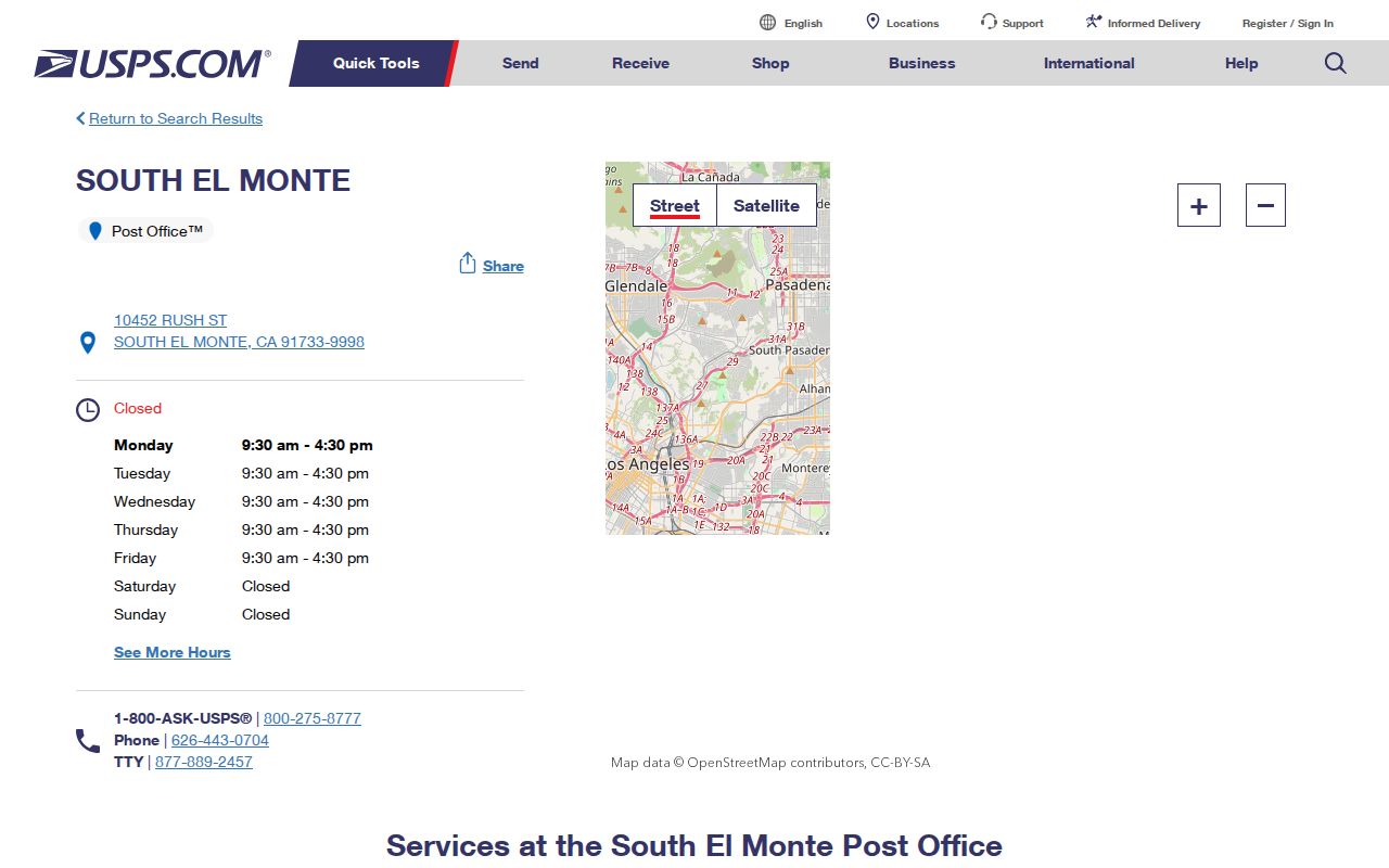
Postal confirmation is one step. Parcel and city confirmation are separate steps.
El Monte ZIP Lookup Limits
No official source in the supplied research verifies a historical ZIP split or realignment for El Monte. No official per-ZIP population table was located, and Census ZCTAs are approximations rather than USPS ZIP boundaries. Do not turn an estimated count, secondary list, or map approximation into a resident total.
When a ZIP question needs an existing city record, send a narrow California Public Records Act request to the agency that holds the parcel, planning, or address file. The CPRA does not require an agency to make a new postal polygon or resident list. The official California code is the source for the governing statutory text and helps frame a records request while USPS remains the authority for delivery ZIP verification.