
El Monte Neighbors: Block Records
A block lookup needs several record types because no official source lists every household nearby. The Assessor GIS viewer establishes physical adjacency. Parcel detail adds land and building facts. Recorded documents connect a known party to a legal description. City files may show a project or code case. A voter Street Index is available only under a contract and permitted political purpose. Local groups can add history and public contacts, while reverse-directory availability for El Monte remains unverified.
| Source | What It Shows About a Block | Access |
|---|---|---|
| LA County Assessor GIS | Parcel shapes, addresses, AINs, and physical adjacency | Free map; click parcels one by one |
| Assessor parcel detail | Use, dimensions, value, building era, and other parcel facts | Free web detail; owner name suppressed |
| Recorded documents | Ownership transfers when a party and legal description are known | RR/CC counter or copy order |
| Voter Street Index | Registrants under a statutory political-use route | Contract, fee, and purpose limits |
| City permits and code files | Projects, dates, and named applicants where public | Department request or CPRA |
| Reverse directory | Historic address and published occupant, if held | Library or museum inquiry; availability unverified |
Owners and occupants are different evidence sets. An owner may be a trust, company, or person who receives mail elsewhere. A parcel can contain more than one household, and the public map does not reveal utility, delivery, or private membership data. Treat each neighbor result as a narrow fact with a date and source.
Click Parcels Around an El Monte Address
The Los Angeles County Assessor GIS viewer is free and interactive. Search or zoom to an El Monte address, select the subject parcel, note the AIN, then pan across the shapes that touch or sit beside it. The documented workflow supports clicking adjacent parcels one at a time. No verified radius or buffer export control was captured, so a block list should not be presented as an automatic distance report.
- Locate the address in the LA County Assessor Parcel Viewer.
- Click the subject shape and copy its AIN and situs address.
- Pan or click each adjoining polygon and record its AIN.
- Open parcel detail for use, dimensions, value, building era, and map links.
- Use the AIN and legal description for any later record request.
The parcel map proves a physical relationship, not a social relationship. For the full named-street chain, the El Monte street directory keeps the address walkthrough broader than an immediate block search.
El Monte Neighbors: Parcel Facts
Assessor parcel detail can show a situs address, active status, parcel type, tax-rate area, tax status, exemption indicator, use code, land and building square feet, dimensions when populated, current and preparation values, base year, year built or effective year, units, beds and baths, legal description, and a map link. The public web card suppresses owner and mailing-address fields. Those omissions matter when a block lookup reaches the question of who actually lives there.
Compare record types before treating an address match as a neighbor match:
| Record type | Useful answer | What it cannot establish |
|---|---|---|
| Official GIS and parcel detail | Which parcels touch, and what land or building facts are shown | Every occupant or a personal relationship |
| RR/CC recorded instrument | Which named parties signed or received a recorded interest | Current residence or all household members |
| Unnamed commercial neighbor category | A compiled lead that may join public and licensed data | Official verification, current accuracy, or protected people |
The commercial category can be stale or merge similar names. Official records also have limits, but their custodian, record date, and field definitions can be checked. Use the parcel map for proximity, then seek a specific official record instead of treating a compiled profile as proof.
El Monte Neighbors: Voter Street Index
The county voter-status page is a self-verification tool, not a browse-by-name or browse-by-street directory. It requires last name, birthdate, house number, and ZIP, and help is available at 800-815-2666, option 2. The public form cannot reveal nearby voters. California Elections Code sections 2188 and 2194 govern applications, fields, purpose, and use.
The official Street Index route is narrower. A countywide voter or election file is listed at $146, precinct, district, or city information at $54, and an added file at $39. The Street Index is $0.50 per thousand names for candidates or committees. The general public may obtain it only for a political purpose, at $0.10 per page plus $1.60 handling. Voted Index and Vote-by-Mail reports use the same per-page and handling figures. An applicant must sign a contract.
Orders can be mailed or delivered in person to Election Information, second floor, Room 2013, 12400 Imperial Highway, Norwalk, California 90650. Appointments may be scheduled up to eight weeks ahead, one person per appointment. The LA County voter reports page is a dated official election source, not a tool for building a casual block roster.
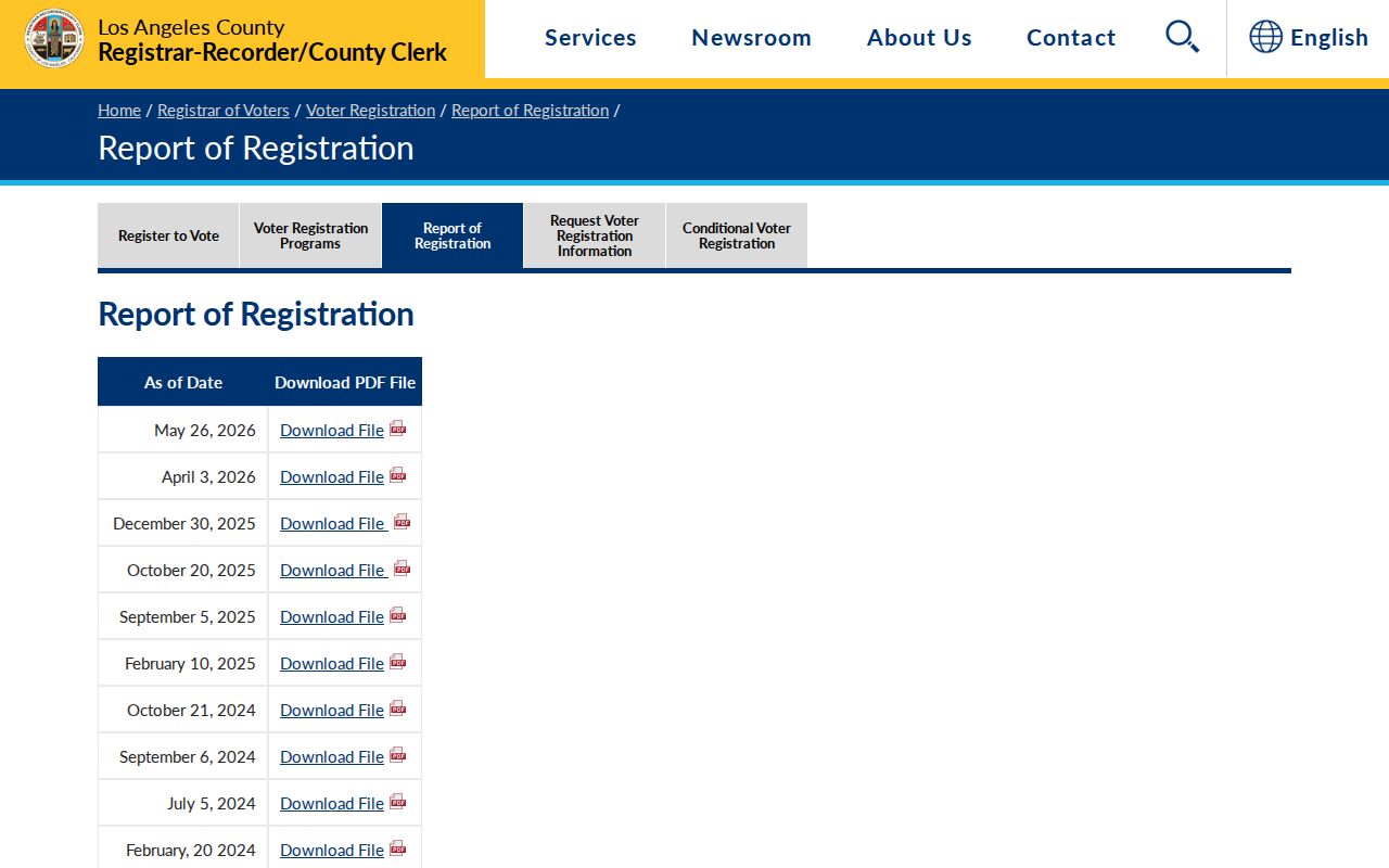
The self-check form and the Street Index serve different purposes, so neither should be used to infer a complete set of neighbors.
El Monte Neighborhoods and Edges
El Monte's General Plan names Norwood-Cherrylee, Arden Village, Mountain View, Downtown, Park El Monte, and River East. Norwood-Cherrylee includes equestrian and agricultural heritage. Arden Village carries agricultural-labor history and small uniform lots. Mountain View mixes single-family, multifamily, and mobile-home settings near the San Gabriel River. Downtown has older street patterns, small-lot homes, senior projects, and commercial activity. Park El Monte is marked by broad curving streets. River East follows river and freeway edges and planned residential development.
These labels help place a block, but they do not replace the parcel, tax-area, or city-boundary check. North El Monte in the South Monrovia Islands is an unincorporated community, not simply another neighborhood inside incorporated El Monte. A postal El Monte label near an edge can therefore describe a different jurisdiction.
The Los Angeles County planning profile for the South Monrovia Islands is the source for that edge distinction.
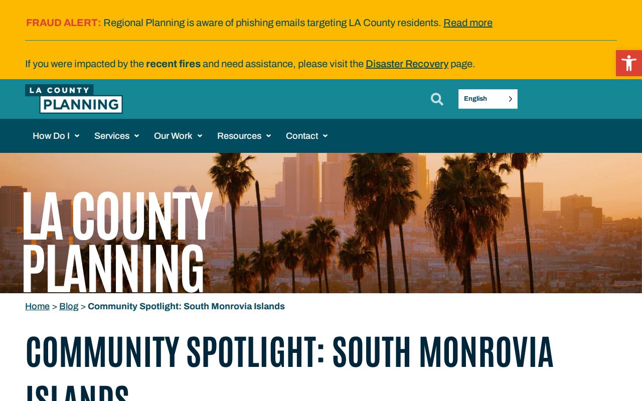
Use neighborhood history as context, then confirm the exact parcel and jurisdiction before connecting a record to an El Monte block.
Norwood-Cherrylee’s Wye Street Story
Norwood-Cherrylee contains the 1920s Rurban Homesteads and Wye Street, tied to an experimental federal project. That history gives the block a useful record clue. A project name, tract pattern, or unusual street form may explain why a parcel appears unlike nearby lots. It does not identify a present household or make a project roster public.
Arden Village's agricultural-labor past, Mountain View's equestrian and agricultural traces, Downtown's older patterns, Park El Monte's curves, and River East's river and freeway boundaries likewise shape how a map should be read. History can guide a search for maps, directories, permits, and local collections without turning place history into an assumption about a person.
El Monte Permit and Code Clues
There is no verified public city portal for a complete El Monte permit or code-history search. Use the department route or a narrow California Public Records Act request. Building is 626-580-2050 at building@elmonteca.gov. Planning is 626-258-8626 at planning@elmonteca.gov. Code Enforcement is 626-580-2080 at codeenforcement@elmonteca.gov. Licensing is 626-580-2031 at license@elmonteca.gov. Public Works is 626-580-2058.
Give the exact site address, AIN if known, permit or case type, and date span. The city request form asks for the request date, requester details, record description, and month/year range. Inspection is free. Copies cost $0.15 per page after the first ten pages. Permit files may name an applicant, owner, contractor, architect, job-site contact, scope, value, issue or final date, and inspection history. Active investigations and private complainant details may be withheld from code files.
A permit applicant is not necessarily an occupant. That role distinction is central when the goal is to understand a block rather than attach a person to a parcel by guesswork.
El Monte Neighbors From Community Groups
Community organizations can add local context, public events, and civic contacts. They are not official neighborhood member directories. Research identified the following useful routes:
| Group or route | What it may add | Boundary |
|---|---|---|
| La Historia Society | El Monte and South El Monte cultural history, oral histories, and donated material | No public residential membership roll |
| Friends of Norwood Library | Community participation and branch-related events | Participation does not establish an address |
| El Monte/South El Monte Chamber | Business affiliation and public member contacts | A business contact is not a home address |
| City boards and commissions | Public civic roles, agendas, and meeting records | Only the public role is established |
The Norwood Library history page links La Historia Society and the El Monte Historical Museum. The El Monte Agenda Center publishes city council and board or commission packets.
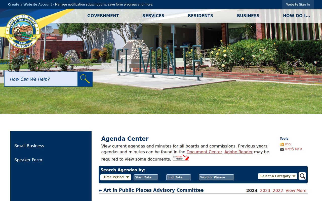
Agendas can show a public civic role or an address-linked project, but they should not be read as a roster of everyone living on the block.
El Monte Neighbors: Protected Block Data
Many household facts remain outside a lawful block lookup. The public web parcel card suppresses owner names. Non-owner occupants, children, household members, utility accounts, delivery records, DMV residence data, and protected voter details are not open street-directory fields. California's Safe at Home program supplies a substitute mailing address and mail forwarding for eligible participants. A protected address is not a missing-data puzzle to solve.
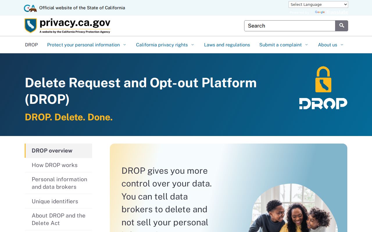
California privacy rights include requests to know, delete, correct, limit, and opt out of sale or sharing, subject to scope and exceptions. California's DROP system gives consumers a way to send deletion requests to registered data brokers. Government records can remain with the custodian even when a broker removes a copied profile.
The California privacy explanation of DROP describes the deletion process and its timing.
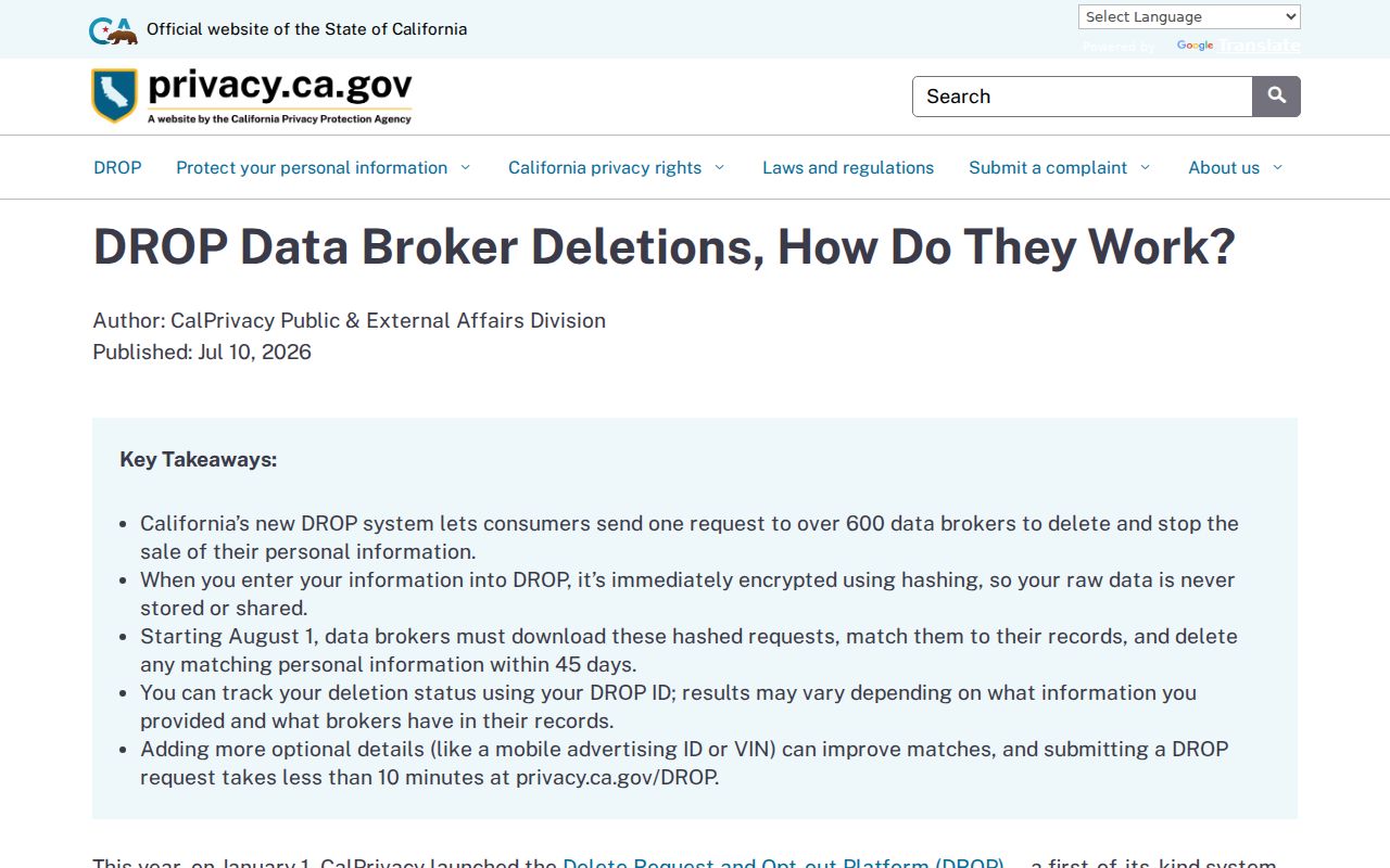
Deletion tools concern copied commercial data. They do not turn a public parcel map into a household directory or change the legal limits on a recorded document.
The California DROP service is the official request route. Safe at Home information is available from the California Secretary of State, and the Attorney General's privacy guide explains state consumer rights.
Use these routes for privacy choices, not to work around a person who has a protected or private address.
El Monte Neighbor Lookup Limits
A block lookup can show where parcels sit, what public fields describe them, which recorded party is tied to a known instrument, and which civic or historical sources may help. It cannot promise a full list of El Monte neighbors. Reverse-directory availability is unverified. No official HOA member directories were found. Community contacts identify organizations, not every household.
Lawful use. Neighbor research is for getting to know a block, reconnecting, family history, civic curiosity, and personal safety awareness. Public records do not authorize surveillance, stalking, intimidation, or harassment.
Keep a source date and a narrow purpose for each lookup. If the question shifts from nearby parcels to the full record chain along a named street, use the street-by-street workflow rather than stretching block evidence beyond what it can show.